📍 Monterrey
Monterrey
Connecting transit data and fast-growing micromobility services to build safer, more inclusive and smarter mobility
Monterrey is testing digital tools that bring together public transport data. These tools aim to strengthen real-time transit monitoring and make fast-growing shared micromobility safer and more inclusive.
Monterrey at a glance
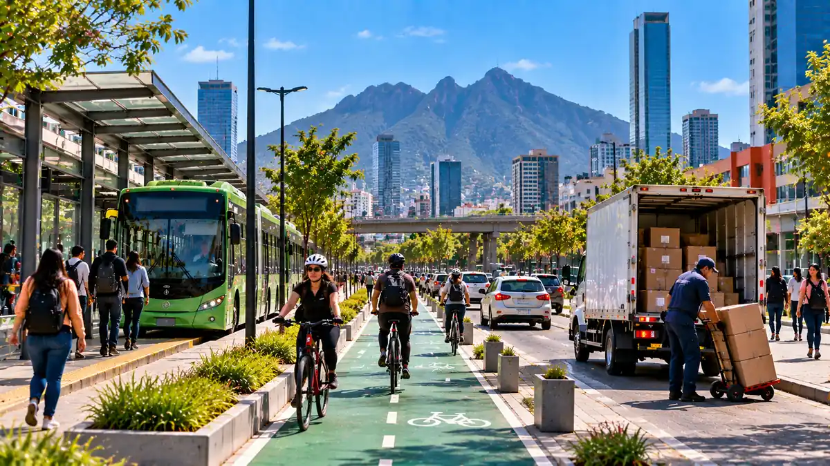
Monterrey, in the state of Nuevo León, is an industrial center. Fringed by mountains, the city is the country’s economic powerhouse. The city has three primary elevated and underground lines spanning the metropolitan area (Metrorrey), a Bus Rapid Transit (BRT) corridor and feeder bus routes that connect neighborhoods. Monterrey does not currently have a citywide public bike-share program, though some private micro-mobility options currently exist.
Currently, Monterrey's public transport and micromobility systems have fragmented data and limited integration across operators and public institutions. This results in constrained real-time monitoring, service planning, evidence-based decision-making, and the availability of passenger information. Preparations for the 2026 FIFA World Cup increased the urgency to connect key city areas and venues using sustainable and accessible mobility options but there is still more to be done to not only enable more integrated systems but also, ensure that those options are safe and accessible.
Why Monterrey?
A strong foundation for digital mobility
In Monterrey, most vehicles already have Automatic Vehicle Location (AVL) technology. The city has the hardware for real-time data and a fast-scaling micromobility market, but needs the institutional and technical bridge to turn that infrastructure into usable, safe, everyday mobility information.
The ACCESS pilot package in Monterrey focuses on building that bridge. It supports the rollout of a real-time public transport feed through the municipal Regioruta bus system, and pairs it with safety-focused analysis of the city's expanding bike and scooter-share network. Together, these pilots show how digital tools can turn scattered vehicle and trip data into coordinated transit management and safer streets.
Explore the ACCESS pilots in Monterrey
01
Aboutthe pilot
Digital Monitoring and GTFS
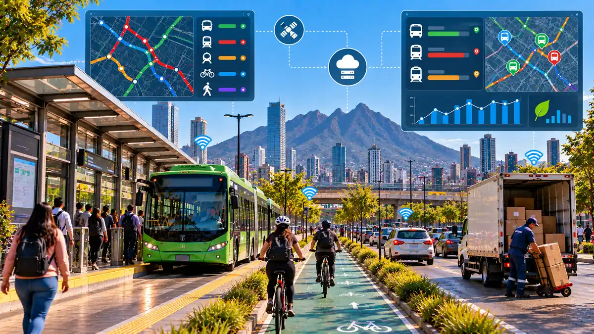
Monterrey's public transport system runs on two control centres and four different AVL providers. The system makes it hard to give riders reliable, real-time information or give planners a coordinated view of the network. The General Transit Feed Specification (GTFS) pilot starts with Regioruta, the municipality's free public bus system.Residents can ride any Regioruta bus without charge, provided they obtain an electronic card at one of the Municipal Service Centers. This initiative aims to reduce reliance on private vehicles and improve public transit options in the city. The work linked to ACCESS will support the development of a data standard that will turn every bus’s exact location into a live feed that can plug directly into navigation and trip-planning apps used across the city.
Working with Regioruta’s technical team and technology provider Ualabee in coordination with Google, the ambition is to ensure that one system's complete real-time data is live and usable, creating a replicable model for the rest of the network.
02
At a glance
Challenge
Consolidate public transport data across multiple operators and disconnected control centres into one usable, real-time feed.
Solution
A GTFS Realtime feed built on Regioruta's municipal bus system, laying the groundwork for citywide data integration.
Technology
Real-time vehicle location data developed with Ualabee, integrated with Google's mapping and trip-planning tools.
Avoid
Reduce wasted trips and uncertainty by giving riders reliable, real-time information on bus locations and arrival times.
Shift
Make public transport a more predictable and attractive choice by connecting Regioruta to the trip-planning apps people already use.
Improve
Strengthen institutional capacity for digital transit management, building a replicable model for GTFS adoption across Mexican cities.
03
Expectedoutcomes
Environmental
Fewer inefficient trips and less idle running as Regioruta's dispatch and route monitoring improve, supporting lower fuel use and emissions across the bus fleet.
Social
More reliable, real-time passenger information builds trust in Monterrey's free municipal bus system, making public transport a more viable choice for everyday commuters.
Economic & Operational
Data consolidation strengthens decision-making and operational performance, with seamless data exchange and coordination between services.
Digital & Innovation
A dynamic GTFS Realtime feed reflecting live vehicle location and status, published to major trip-planning platforms such as Google Maps, Moovit and the Transit App.
Governance / Institutional Frameworks
building Regioruta's technical capacity and feeding lessons into Mexico's National System of Mobility and Road Safety and emerging national data-governance guidelines.
02
Aboutthe pilot
Micromobility and Road Safety
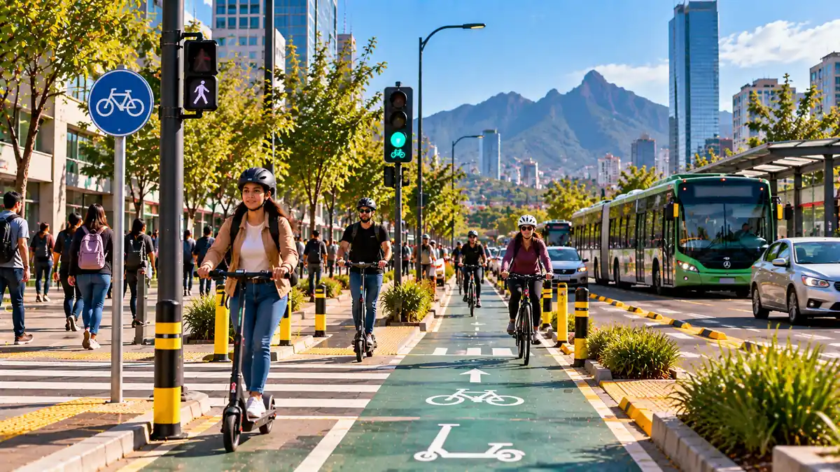
Since launching in September 2025 with 550 units, Monterrey's shared bike and scooter system has grown to nearly 1,750 vehicles. As a consequence of the FIFA 2026 World Cup, most are concentrated around key locations such as Macroplaza, Parque Fundidora and Parque del Agua.
The rapid growth of micromobility options has outpaced safety planning. This pilot uses trip data from the operator's fleet, aggregated into a hexagonal grid and cross-referenced with crash records, to pinpoint where demand and risk overlap. The analysis feeds directly into technical and financial planning for a citywide Bike Sharing System, and into practical recommendations. The work in this pilot will not only result in the delivery of targeted safety measures but enable authorities to better prepare ahead of major city-wide events.
02
At a glance
Challenge
Develop a safe, integrated micromobility system and connect it to mass transit, without leaving pedestrians and cyclists exposed to risk.
Solution
Data-driven safety analysis of the micromobility network paired with technical and financial design support for a citywide Bike Sharing System.
Technology
Fleet trip data aggregated in hexagonal grids and cross-referenced with road crash records to identify demand and risk hotspots.
Avoid
Avoid unnecessary short car trips by offering a viable, connected cycling and micromobility alternative.
Shift
Support a shift from private vehicles to bikes and e-scooters, particularly for short trips and event-related travel around World Cup venues.
Improve
Improve safety and service planning by using demand and crash data to redistribute fleets and target road-safety interventions in high-risk areas.
03
Expectedoutcomes
Environmental
Reduced GHG emissions and improved air quality as short car trips shift to bikes and e-scooters
Social
Gender-sensitive system design and targeted safety measures that protect pedestrians and cyclists in high-risk zones.
Economic & Operational
A financially sustainable Bike Sharing System.
Digital & Innovation
Fleet data aggregated into hexagonal grids and cross-referenced with crash records, plus digital integration between bike-unlocking and public transport fare systems.
Governance / Institutional Frameworks
A formal information-sharing agreement between ITDP Mexico and the Secretariat for Sustainable Urban Development, with the Urban Development Trust of Nuevo León (FIDEURB) established.
Where ACCESS is working in Monterrey
This map helps visitors explore where ACCESS is working and why each location matters. Toggle layers to see logistics activity, public transport corridors, curbside management areas and data-analysis geographies.
Interactive overview of ACCESS pilot and mobility focus areas.
What ACCESS will measure
What ACCESS will measure
The Monterrey pilots will generate evidence on how digital tools can improve public transport reliability and micromobility safety. Monitoring will focus on environmental, operational, social, gender, policy and governance results. All of this information will support the development of national and subnational policy shifts in Mexico.
Gender and inclusion
Gender and inclusion
Women in Monterrey face persistent barriers to safe and equitable mobility, from personal security concerns while walking, cycling or waiting for transport, to underrepresentation in transport planning and operations. ACCESS has the potential to address these challenges by building gender-responsive features and evidence directly into the city's digital mobility tools.
The ACCESS teams are following the Gender-Responsive and Inclusive Guidelines on Safeguards for the ACCESS project, aligning activities with Mexico’s Gender Action Plan, and promoting continuous learning and knowledge exchange. These activities include:
- Promote inclusive design in micromobility infrastructure and services, considering safety, accessibility and differentiated mobility needs.
- Strengthen the collection and use of sex-disaggregated and intersectional data across relevant mobility activities, including participation and system use.
- Safety perceptions and related data into the planning and improvement of interventions, considering factors that may shape women’s mobility choices and experiences.
- Strengthen technical capacities on gender-responsive and inclusive mobility among public officials, operators and other relevant stakeholders, while promoting women’s participation in capacity-building opportunities.
From pilot to scale
Lessons beyond Monterrey
The Monterrey pilots are designed to generate lessons for other cities in Mexico and Latin America. ACCESS will use the results from Monterrey to support replication, capacity building and policy recommendations on transport digitalisation, sustainable logistics and inclusive mobility planning.
Download and explore
Explore resources, guidance and learning materials from the Monterrey pilots to support sustainable logistics, inclusive mobility and evidence-based transport planning.
Key statistics and insights from Monterrey.
Download city factsheetSummaries of the Monterrey pilot projects.
View pilot briefsEvaluation and results from pilot implementation.
View monitoring reportsResources supporting inclusive and gender-responsive mobility.
View gender resourcesTraining materials, tools and lessons from ACCESS.
Explore learning resourcesTraining materials, tools and lessons from ACCESS.
Explore learning resourcesPractical steps for scaling and replicating pilot projects
View replication checklistTake the next step with ACCESS
The Monterrey pilots are designed to generate lessons for other cities in Mexico and Latin America. ACCESS will use the results from Monterrey to support replication, capacity building and policy recommendations on transport digitalisation, sustainable logistics and inclusive mobility planning.