📍 Quito
Quito
Turning a city in transition into a model for smarter, cleaner, more inclusive mobility
Quito is testing digital tools that optimise public transport planning, model and manage air quality, coordinate last-mile deliveries through a collaborative cross-docking hub, and connect the city's transit systems into one integrated, easier-to-use network.
Quito at a glance
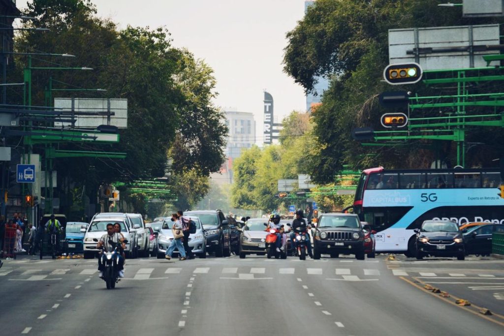
In Quito, transport is the largest source of greenhouse gas emissions, accounting for around half of the total carbon emissions. The city’s mountainous topography and weather make air pollution from transport a persistent public health concern. While there is limited cycling infrastructure and pedestrianised areas, Quito is home to one of the highest public transport ridership levels, both regionally and globally. The city has recently made significant investments in mobility that are aimed at both contributing to reducing carbon while also helping the city become more inclusive and resilient.
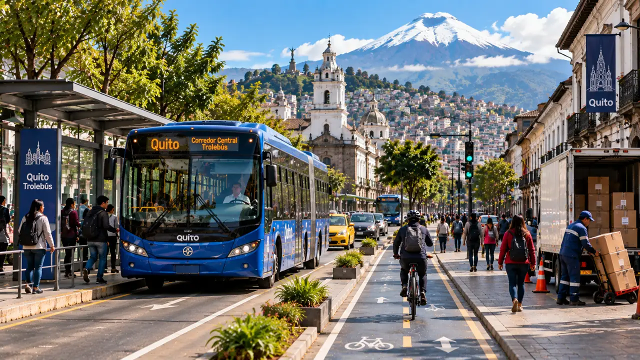
Quito’s first subway line opened in 2023, followed by the introduction of 60 new electric trolleybuses into service in 2025. An Integrated Fare Collection System (SIR) began rolling out gradually across the BRT corridors in 2026.
Why Quito?
A strong foundation for digital mobility
Quito offers a strong foundation for the ACCESS project because it combines major recent infrastructure investments with the real, everyday challenge of getting all of these systems to work together.
The ACCESS pilot package in Quito focuses on building a bridge from three directions at once. First, optimising how the public transport fleet is planned and understanding its air quality impact, second, digitalising the coordination of last-mile freight in the Historic Centre, and third, physically and digitally integrating the public transport network itself. Together, these pilots show how a city already investing heavily in low-carbon transport infrastructure can use data and digital tools to get more out of that investment.
Explore the ACCESS pilots in Quito
01
Aboutthe pilot
Transport Optimization and Air Quality Models
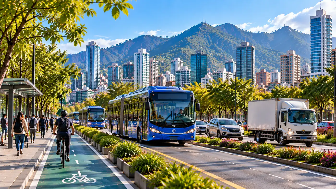
Quito's municipal transport operator, EPMTPQ (La Empresa Pública Metropolitana de Transporte de Pasajeros de Quito), runs the Trolebús and Ecovía BRT corridors directly, plus 48 feeder lines operated by private contractors. The existing system that is planned largely without the help of digital optimisation tools. This pilot develops mathematical models for fleet allocation, driver scheduling and route planning, starting with the Trolebús system. In parallel, it builds a high-resolution air quality modelling system so the city can forecast pollution, test emissions-reduction scenarios, and ground its transport and public health policy in up to date and comprehensive evidence.
The outcomes from this pilot are being developed, wherever possible, as open-source tools so other Ecuadorian cities can eventually adopt them too.
02
At a glance
Challenge
Plan a growing, partly-electrified fleet efficiently and inclusively, while building the air quality and emissions evidence base.
Solution
A fleet planning Tool for vehicle and driver assignment on the Trolebús system, a Demand Modelling Tool built on open trip data, and a calibrated air quality forecasting and scenario-testing system.
Technology
Optimisation models and WRF-Chem air quality simulation running on MODEMAT's Quinde 0 supercomputer. Paired with UrbanTrips (an open-source IDB tool).
Avoid
Smarter driver assignment lets drivers start and end shifts closer to home, cutting unnecessary commuting.
Shift
Use the data and service-quality improvements the models generate to make public transport a more attractive alternative to private vehicles.
Improve
Give the city the evidence base to make and justify decisions like electrification and route redesign.
03
Expectedoutcomes
Environmental
Reduced GHG emissions from transport, and lower concentrations of transport-related air pollutants (PM₁₀, PM₂.₅) in targeted areas of the city.
Social
A better public transport experience through optimised routes and frequencies, and improved driver working conditions
Economic & Operational
Established optimisation models for fleet usage and driver time, and route-efficiency models.
Digital & Innovation
Consistent use of the tools by municipal staff and other stakeholders, and the integration of new modelling approaches into everyday mobility planning.
Governance / Institutional Frameworks
A scale-up and replication roadmap developed with local authorities, plus stronger institutional capacity for data-driven decisions.
02
Aboutthe pilot
Digital Tool for Last-Mile Logistics (Cross-Docking Hub)
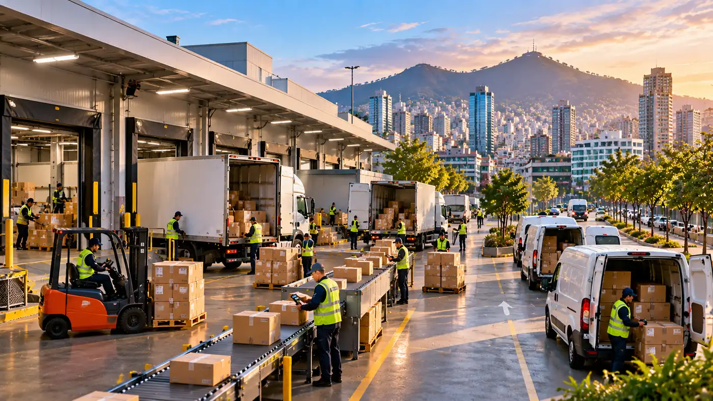
E-commerce and delivery traffic are adding pressure to Quito's dense, historic streets. Building on the E-MOVILIZA project's collaborative cross-docking hub at Yaku in the Historic Centre, this pilot includes the design of a digital tool to manage and coordinate that hub, consolidating deliveries and routing low-emission vehicles like e-cargo bikes and electric vans for last-mile drop-offs.
The pilot builds directly on E-MOVILIZA's operational lessons to define a business model, tool functionality and governance arrangements that can work for logistics operators, small businesses and the city.
02
At a glance
Challenge
Coordinate a shared, multi-operator cross-docking hub to cut congestion and emissions in the Historic Centre.
Solution
A centralised digital management tool for the collaborative cross-docking hub, covering delivery scheduling, hub capacity booking, route optimisation and fleet tracking.
Technology
A coordination platform built on lessons from the operating Yaku hub.
Avoid
Cut unnecessary delivery trips by consolidating cargo and improving scheduling efficiency.
Shift
Move last-mile deliveries in the Historic Centre toward smaller, electric and hybrid vehicles supported by the cross-docking hub.
Improve
educe delivery times and fuel use through optimised routing and scheduling, and help logistics companies adopt lower-carbon practices.
03
Expectedoutcomes
Environmental
Reduced GHG and particulate matter emissions from last-mile freight, and fewer vehicle-kilometres travelled through consolidated deliveries and optimised routing
Social
Engagement of local SMEs, delivery cooperatives, and women- and gender-diverse-led businesses.
Economic & Operational
A digital cross-docking tool operating in real time, with more reliable, efficient deliveries and lower last-mile logistics costs for local businesses.
Digital & Innovation
A data-driven dashboard supporting adoption of the tool and broader integration of digital planning across Quito's last-mile logistics.
Governance / Institutional Frameworks
A scale-up and replication roadmap for the collaborative cross-docking model.
03
Aboutthe pilot
Multimodal Integration of Public Transport (Gender-Inclusive MaaS and SIR)
Quito's public transport network includes Metro, BRT, feeder buses and conventional buses among other things. Historically, these have been largely operated as separate systems. This pilot builds on the city's Integrated Fare Collection System (SIR), which began rolling out gradually across the municipal BRT corridors in 2026. The ambition is to support genuine physical and digital integration through enabling shared fares, connected passenger information, and in the long term, mobility hubs and integrated journey planning.
The specific details of this pilot are still being finalised in partnership with local authorities.
02
At a glance
Challenge
Create a genuinely integrated, easy-to-use multimodal network.
Solution
Deepen SIR integration (beginning with BRT feeder operators), paired with real-time passenger information, GTFS/GTFS-RT data standards, and early exploration of mobility hubs.
Technology
Open data standards and cloud-based data integration platforms connecting transport operators and passenger information systems.
Avoid
Reduce unnecessary travel and trip distances through better transport planning.
Shift
Encourage a shift from private vehicles to public transport and micromobility by integrating fares, payment systems and infrastructure across operators.
Improve
Improve the efficiency and sustainability of public transport by supporting integration.
03
Expectedoutcomes
Environmental
Increased use of public transport and other sustainable modes as system integration improves.
Social
Improved accessibility to public transport.
Economic & Operational
Better connectivity between transport services, and higher, more efficiently operated public transport ridership.
Digital & Innovation
Wider availability and use of real-time transport information.
Governance / Institutional Frameworks
Better connectivity between transport services, and higher, more efficiently operated public transport ridership.
Where ACCESS is working in Quito
This map helps visitors explore where ACCESS is working and why each location matters. Toggle layers to see logistics activity, public transport corridors, curbside management areas and data-analysis geographies.
Interactive overview of ACCESS pilot and mobility focus areas.
What ACCESS will measure
What ACCESS will measure
The Quito pilots will generate evidence on how digital tools can optimise public transport planning, improve air quality forecasting, coordinate sustainable urban freight, and integrate a fragmented multimodal network. Monitoring will track environmental, operational, social, gender, digital-innovation and governance results. All of this information will support the development of national and subnational policy shifts in Ecuador.
Gender and inclusion
Gender and inclusion
Women in Ecuador face persistent barriers to safe, equitable and inclusive mobility. Routes and schedules are typically designed around commuter travel patterns rather than the trip-chaining many women rely on. In addition, safety concerns shape how women use public transport and public space.
Each pilot includes tailored actions shaped together with local partners. The ACCESS teams are following the Gender-Responsive and Inclusive Guidelines on Safeguards for the ACCESS project, aligning activities with Ecuador’s Gender Action Plan, and promoting continuous learning and knowledge exchange. These activities include:
- Building gender-sensitive criteria directly into fleet and driver-assignment models.
- Supporting women's participation in the public transport sector as drivers, operators and managers.
- Collecting gender-disaggregated data across the pilots to identify mobility patterns, safety concerns, accessibility barriers and mobility-of-care needs.
- Engaging women-led SMEs, women entrepreneurs and women delivery workers in the cross-docking hub's consultations, training and future business opportunities.
From pilot to scale
Lessons beyond Quito
The Quito pilots are designed to generate lessons for other cities in Ecuador and Latin America. ACCESS will use the results from Quito to support replication, capacity building and policy recommendations on transport digitalisation, sustainable logistics and inclusive mobility planning.
Download and explore
Explore resources, guidance and learning materials from the Quito pilots to support sustainable logistics, inclusive mobility and evidence-based transport planning..
Key statistics and insights from Quito.
Download city factsheetSummaries of the Quito pilot projects.
View pilot briefsEvaluation and results from pilot implementation.
View monitoring reportsResources supporting inclusive and gender-responsive mobility.
View gender resourcesGuidelines for responsible data management and digitalisation.
Wiew Open guidanceTraining materials, tools and lessons from ACCESS
Explore learning resourcesPractical steps for scaling and replicating pilot projects.
View replication checklistTake the next step with ACCESS
The Quito pilots are designed to generate lessons for other cities in Ecuador and Latin America. ACCESS will use the results from Quito to support replication, capacity building and policy recommendations on transport digitalisation, sustainable logistics and inclusive mobility planning.